How to Explore Budapest on a Budget
For many years, Budapest is considered one of the most beautiful cities in Central Europe. Not only does the Hungarian capital has a…
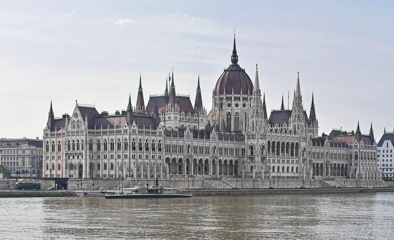
For many years, Budapest is considered one of the most beautiful cities in Central Europe. Not only does the Hungarian capital has a…
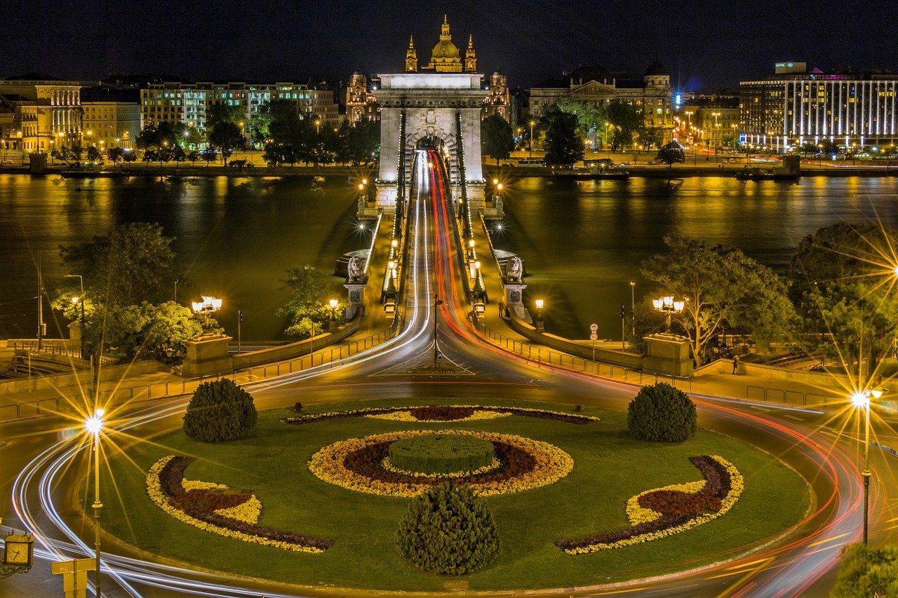
Our Budapest guide for first-time visitors will provide you with all necessary data regarding the things you should bear in mind before heading…
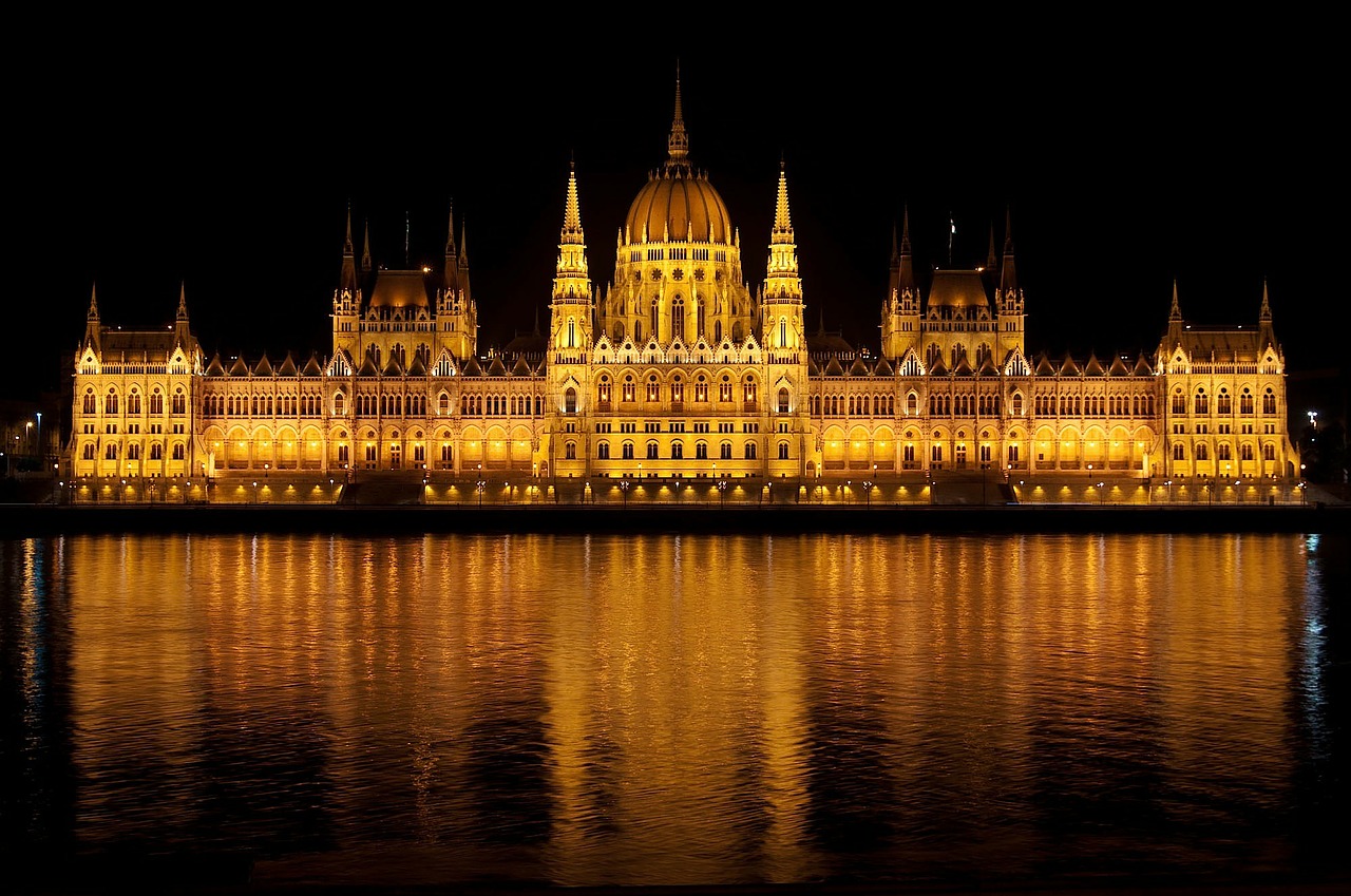
In today’s extensive article, we’ll list the most popular destinations in Budapest that people choose to visit in the summer. All of them…
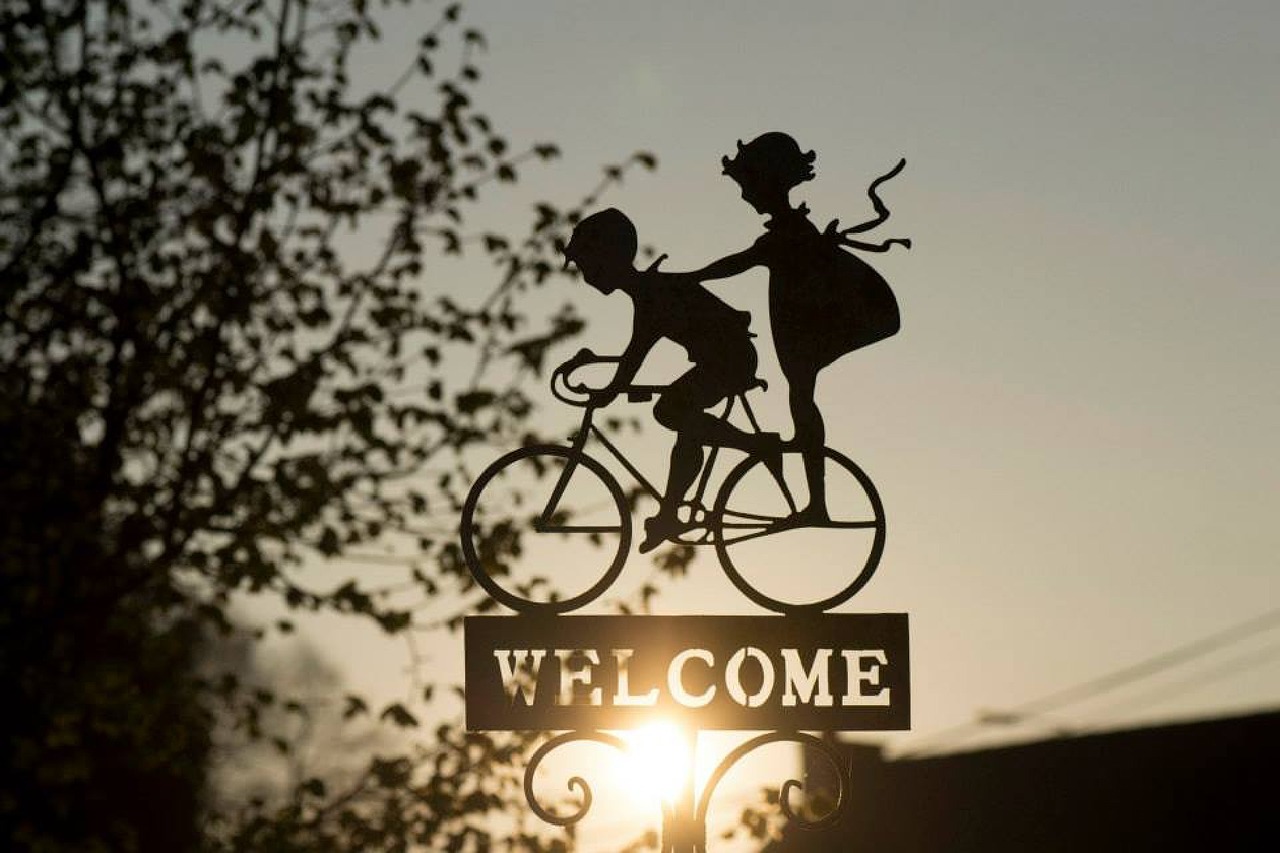
Our Welcome Post will help you better understand what type of content you’ll see on our blog. We’ll also share why we’ve decided…